


Trainsity Manila LRT MRT PNR

Descrizione di Trainsity Manila LRT MRT PNR
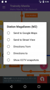
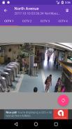
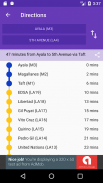
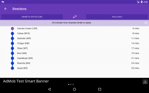
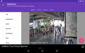
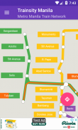
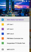
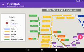
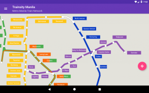
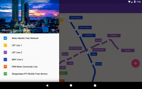
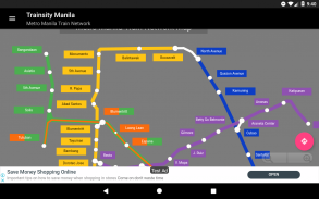
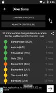
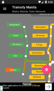
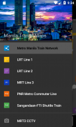
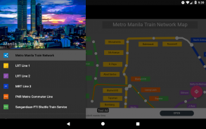
Esplora la città di Manila utilizzando le mappe vettoriali ad alta risoluzione delle linee MRT-3, LRT-1, LRT-2, PNR Sangandaan-FTI Shuttle Service e PNR Metro Commuter. Le mappe hanno impronte di dimensioni ridotte ma con molti livelli di zoom e possono funzionare offline senza connettersi a Internet. Gli utenti possono fare clic sulle etichette della stazione ferroviaria per aprire Google Maps o Street View, dove possono utilizzare tutte le funzioni delle app di Google per visualizzare l'area circostante e / o eseguire il percorso per le indicazioni stradali. C'è anche una funzione offline per calcolare il modo migliore per viaggiare da una stazione a un'altra stazione con una ripartizione della direzione e tempi stimati (che possono variare dal tempo di viaggio effettivo). L'app è inoltre integrata con un visualizzatore di istantanee statiche CCTV MRT-3 per la visualizzazione delle aree di ticketing e piattaforma di tutte le stazioni MRT-3.
* Ora con modalità oscura
Credito fotografico: http://commons.wikimedia.org/wiki/File:Manila_skyline_day.jpg


